













If there’s one thing Australians are particularly good at, it’s finding the funny side when the weather refuses to cooperate. We live on a continent that routinely serves up drought, floods, heatwaves, hailstorms and four seasons before lunch.
But for skiers and snowboarders in a challenging year laughing at the forecast is less a personality trait and more a survival mechanism. As the adage goes, if you don’t laugh, you’ll cry.
The last two big storm forecasts, the ones that were dubbed “season game changers” by forecasters and media (yes, we’re guilty) had all the box office hype of Pulp Fiction only to deliver snow fiction. What’s worse is the forecast downgrades happened within days if not hours of the storms lack lustre arrivals.


The most difficult blow earlier on in the season was the warm cycles between each storm, making it night on impossible for snow making. Thankfully that has corrected itself and resorts have been able to pump snow and push it around terrain to ensure lift openings.
Our team has hit up Perisher and Charlotte Pass this season and been both grateful and pleasantly surprised by snow conditions. A day on the mountains is better than a day in the office any day.
But, I digress. Last weekend’s storm was always forecast with wild winds and a deluge of rain before the big totals would arrive. The rain came but the snow, not so much, just 60 hours out from the impending system, forecast models took a sharp downgrade. Just like the system before it. Seven day forecasting had anything from 60 – 100cms due, though seven days are more like a politician’s promise than the more reliable three day forecast, but still.
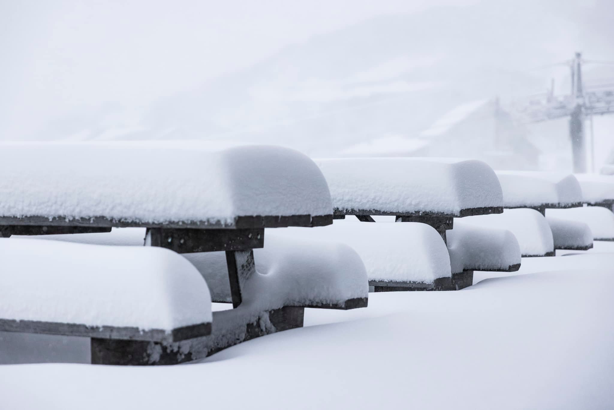
Amongst the rain Thredbo received 20cms of snow in seven days, Perisher 26cms, Hotham 27cms, Falls Creek 26cms. Great numbers not to be laughed at but certainly not the half a metre predicted two days out.
In a season where we are yet to hit the metre snowfall mark it can feel like a punch in the gut, more for those businesses struggling to make a dollar.
We asked Tyson Millar from the Snowstack, who was also thrown offside by the downgrade, what the hell is going on this year.
“Forecast models underwent a sharp downgrade in the 60 hours leading up to the system, mirroring a pattern seen just a few weeks ago (28th–31st) where near-range guidance shifted dramatically run to run.
“This system was originally expected to deliver a three-part setup: a widespread rain event, a primary snow event, and a trailing snow event. While the initial rain verified, the primary snow system weakened significantly at close range. Meanwhile, expectations for the trailing system dropped from 20–30 cm down to 5–10 cm—a common outcome when a secondary feature follows behind a strong atmospheric anomaly.
“A key red flag in the early modelling was the projection that cold air would hold its intensity as the system swept all the way from Western Australia to Eastern Australia. In reality, atmospheric mixing and energy decay took over as the setup moved east. Southwest WA absorbed the brunt of the energy, delivering their strongest winter system of the season, which naturally left less energy for the East Coast.
“Having both regions benefit equally from the same cold air outbreak is a rare occurrence, and as the models resolved the distribution of energy closer to the event, the forecast scaled back accordingly.
“Underneath all of this is an unusually chaotic climate setup. Ocean temperatures in the tropical Pacific (the Niño 3.4 region) are sitting at record-high levels, completely off the charts for this time of year.
“At the same time, the Southern Annular Mode—a major weather driver that typically brings winter cold fronts—has been strangely unpredictable, offering only brief pockets of cold pattern support. These conflicting signals create a highly unusual backdrop, making it much harder for computer models to settle on a stable forecast as systems develop.”
But it’s not just computer forecast modelling bearing the brunt. Meteorologists seem to have taken to throwing vast range numbers in the hope the net hits the right note somewhere in the temperamental 2026 cycle. They all agreed, our own forecasters included, around the half metre mark, though, and we all agreed we got half of that.
Over in South America, El Niño has hit hard with cold conditions and 6.5 metres of snow in 12 days in Portillo, Chile. Be careful what you wish for, though, this later season starting storm meant the resort was closed for access for 23 days until snow was cleared and roads re-opened. That’s a lot of non-ski time and a dent for commercial business.